Saturday, September 21, 2013

Day 15 GPS

Waking up in a tent one last day. It was a morning like many others. On again off again rain. Well sprinkles anyway. Cool and damp. I laid there for a bit just to enjoy hearing the sound of the rain and the lake.  Much like the white noise of the ocean waves but a less rhythmic, more stready sound. It qas quite pleasant. And wanted to stay longer but... nature called.
The boy was up shortly after and we made our tea amd packed up camp before one last stroll on the beach.
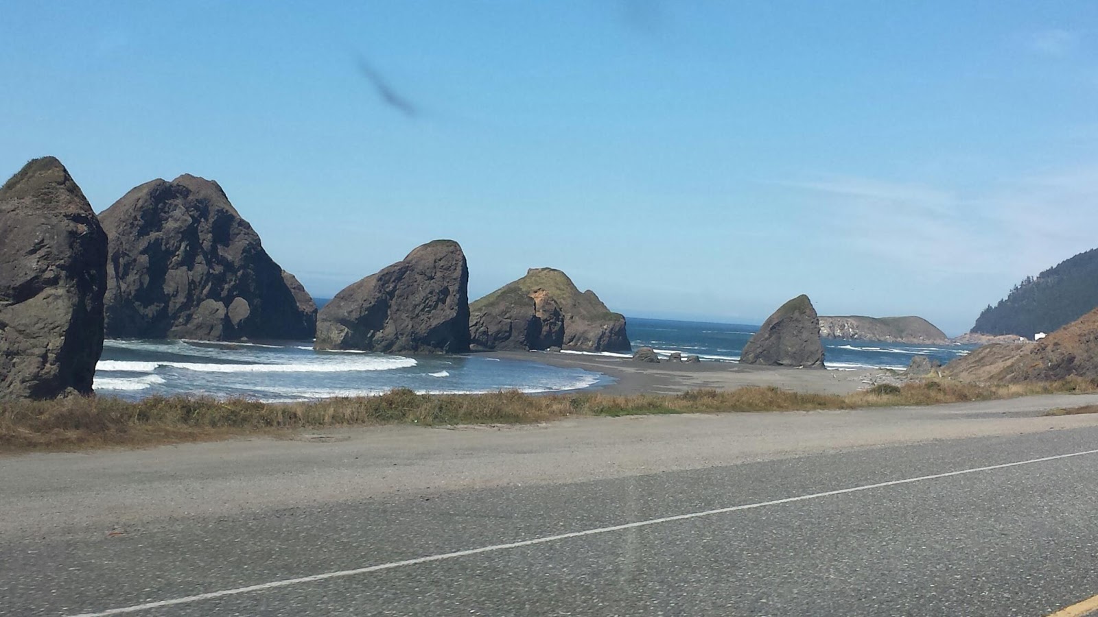
I could have only imagined the hugeness (yes thats a word) of Lake Superior last night in the dark. And it didn't compare to the actual vision of the lake. Its more like a small non-salty ocean with waves and currents and tides. Today with the chopped and heavy surf I didn't dare to stick my big toe in.
A 1.5 mile walk down one of the many trails will take you to a lighthouse with many shipwrecks and artifacts about. Next time we will visit. So cool.
Then off headed south through the U.P. to Grossw Ile for dinner with TJ's parents.
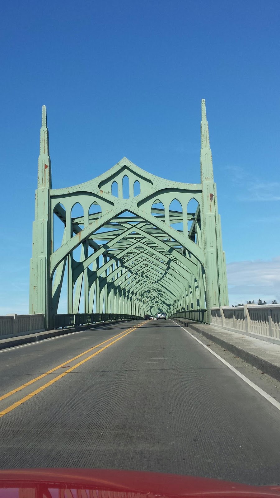
Back throuth the windy route 58 then 2 south and over the Macinac Bridge. The longest suspension bridge in the US. Or something like that. A quick (or not so quick as the case may be) stop for lunch then Grosse Ile.
We had a lovely dinner with TJs parents and one more stop to crash at Jeff & Lauras for our last night on this epic journey. I almost dont want it to end. We really have had an awesome trip. I miss the boys though. It will be good to see them in the wee hours of the morning Monday.

View Day 15- Lake Superior, MI to Detroit, MI by passingoncurves on Breadcrumbs

Powered by Breadcrumbs: manage, edit and share GPS tracks for free.


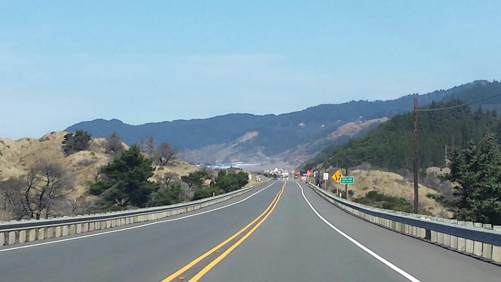
Route 58 to Lake Superior

Camping at 
Lake Superior driftwood and beach.

Lake Superior waves.

Morning selfie

Day 14 GPS

Day 14 and headed east from Cass Lake in the Chippewa National Forest to Hurricane River Campground on Lake Superior in the Pictured Rocks National Lakeshore.
Another day of driving behind the rain. Picking up sprinkles here and there. Another day of overcast and below average temps.
Up and in the car before noon. Excited for our last day of camping on our trip on Lake Superior.  The scenery has changed from prarie and scrub to forest. Very Maine looking but the fall colors are already on display.  A bit ahead of Southern Maine.
A longer drive than anticipated again on winding roads in the U.P. There is no exaggeration about the deer population.  As soon as the light started to wane. Deer, deer, deer. And so on. We counted 6 or so in just a couple of miles.
But we made it in time to make a fire, have dinner and take a walk on the beach. The beach looked like any other beach on the ocean. Sand, debris washed up, waves, wind... but the fact that it is a lake blows my mind. We read fact s about it on the way to entertain ourselves which made us more in awe while there.
Tomorrow Detroit. Home in less than 48 hours. What a trip!

View Day 14- Cass Lake, MN to Lake Superior, MI by passingoncurves on Breadcrumbs

Powered by Breadcrumbs: manage, edit and share GPS tracks for free.

Blue skies (well almost) and another day in the UP. 

Cass Lake.

Road less traveled. 

Lake Michigan

It's another huge one

Lake Superior, Michigan

Yesterday we crossed into (and through) our last of the 22 states we're touching on this trip.  Wisconsin was Wisconsin, not looking too dissimilar from upper Minnesota.  Then darkness fell and we passed back into Michigan, this time into the upper peninsula.  Pictured Rocks National Seashore was our stopping point for the night.  We were hoping to find our campsite by 8 but didn't do so until 11, but that didn't dampen our spirits.  We checked out the lake (it's huge and had surfable waves) and got wet, then started a fire and set up camp.  Sauteed cheddar brats in chili were the bites du jour, hoping it would keep us warm in the early-morning hours.  It did.

This morning marks another end to our journey.  We've finished our leg to Route 66, then finished 66 itself, then finished the Pacific coast, and now we're ending our two weeks of camping.  Tonight will be spent in a warm bed in Michigan and tomorrow night we should be home in Maine.

Friday, September 20, 2013

Wisconsin

So far, it looks a lot like Minnesota.

Minnesota

Woke up in the Chippewa National Forest along Cass Lake in mid Minnesota.   It rained overnight, again.  That same weather pattern that has been playing "Tag" with us cross-country gave our tent a late night kiss on the rain fly, capping off a beautiful night under the starry sky.  We're packed up and ready to head for our next stop, the Pictured Rocks National Seashore, along the banks of Lake Superior in Michigan's Upper Peninsula.

Day 13 GPS

North Dakota to Cass Lake Minnesota was an easy day. No massive rain or super twisty roads to travel. Just open road.
Woke up in the beautiful landscape of Teddy Roosevelt National Park full of painted rock views. Packed up quickly because although the night had been dry, the rain was knocking and wanted in.
Again heading west on Route 94 we set out. Not sure where to yet. We passed alot of open field.  Some crops some scrub on the straightest road ever. It seemed to go on and on.
We made it to Fargo ND and stopped for dinner and a taste of yet another local beer. We sat at the bar as we usually do at Granite City Brewery. As two of the bartenders worked and chatted with us on the side. We were in local dialect heaven. Each word rung true to the exaggerated speech that you hear in movies. We sat and ate and giggle our way through dinner. As we were finishing up one, Ashley, of the bartenders (who asked us our names at the start and actually remembered it) spoke the magic words. "Blah blah blah LAKE VERMILLION" The conversation seemed to stop. TJ interjected with his childhood memories of the lake. A seemingly innocuous comment and a connection made. Yup we left with a beautiful growler of thier IPA and a gifted Granite City Brewery mug from Ashley. So sweet. Another moment when life parrallels BM. But that is a long tale saved for another post. See, this was our BM trip and so many things have happened as if we were on playa.
We picked our evening spot of Chippewa National Forest while at dinner. Just before Grand Rapids MN. A couple of options to camp. Found a site on the Chippewa Camp Loop. Right on the water. Probably the best campsite yet. Set up camp and took a walk on the water under the bright full moon. Beautiful.

View Day 13 Medora, ND to Cass Lake, MN by passingoncurves on Breadcrumbs

Powered by Breadcrumbs: manage, edit and share GPS tracks for free.


Full moon driving under a partly cloudy sky and an open road. 

Loved this spot! Large campsite with plenty of space I think it was Cottonwood Campground. On the back side of the trees is the lake. We had a very short path right to it. 

It is getting greener. Not bluer skies but greener and less prairie here in MN. 

Had to get at least one picture of Montana. So bummed we didn't get to stay a night here. My memories of it are so grand. This is definitely another trip. 

I think this was the beginning of ND. Yikes I have to check. 

Thursday, September 19, 2013

Cass Lake, Minnesota

Next stop: Cass Lake, in the Chippewa National Forest, Minnesota.  It's already dark when we arrive at 11pm but I can tell this is going to be a beautiful campsite.  Plenty of space, fire pit, a picnic table, and a walkway right to the lake's edge.  Splitting hairs I'd say the full moon is tomorrow but it sure looks full tonight, reflections spraying with the crashing waves' mist, like a rainbow in the dark.  Tomorrow I swim.

Today was a drone of driving.  We did see a few interesting things, like the "World's Largest Holstein Cow".  It was visible from the freeway and the townsfolk were below in the immediate path, should the behemoth Bessie decide to flee for greener pastures.  But she kept watch over her human flock as we drove past, slipping out of sight around the next bend.

Tomorrow we plan to explore Minnesota and possibly visit Lake Vermillion, my Grandmother's escape from the real world.  I remember it for its red-cabin-in-the-woods feel, its educational dock, and of course, the sauna.  Oh yes, the sauna.  The Finns' original man cave.  The place where 250 lb men are no match for fire-bred steam and little old ladies find relief from the arthritic advancement of time.  But I was neither.  I was just a life-loving little kid who loved to roast in the sauna before jumping into the lake.  I can still feel my pores slamming shut and the slippery rocks at the bottom of the lake.  Hopefully I will feel those same rocks tomorrow, but there is a problem: no address.  I will be trying to use 43-year-old brain cells to reconstruct memories from before video games.  Before computers.  Before sex became "safe" and Halloween became "dangerous."  Before I realized that I may never see that red cabin in the woods again.  This sounds like an adventure just waiting to happen.

Day 12 GPS

Spokane, WA to Theodore Roosevelt National Park Medosa, ND.
Longest day ever! Wow never felt so good to sleep last night at 3:30 am. I digress...
The camp site in Spokane was so close to the railroad when the train came through we couldnt tell where it was coming from. It was kinda cool and very unexpected late night.
We lucked out and noticed a site with a structure over the picnic table. Just as we finished moving everything over it started to rain. Good timing. We ate dinner- beans and franks- enjoyed a couple of local brews and watched the rain come down. Nice and dry. Nighty. Night.
Up and out in the am. The usual routine. Twas to be a long day of driving. And it was....14 hours total. Through the rest of Washington, Idaho, Montana and finally arrining at 3am to a dark Theodore Roosevelt National Park just over the border into North Dakota. It was worth the stretch.  Admittedly TJ did most of the driving through the Continental Divide and curvy mountains in Montana to the painted rocky landscapes of North Dakota.
The rain has been threatening and just ahead of us going east. We caught some as it was getting dark and it was not fun. Hopefully we loose it.
TJ drove and drove. I dozed in and out. There were pee stops and lots of trucks. We had a good dinner at the Iron Horse pub in Missoula, Montana. I think... Missoula.
Then we drove and drove. Did I mention we drove alot yesterday?
Camping was nice in the park. We were greeted by a doe upon our entrance.  She kinda meandered out and across slowly as if to say hi.

View Day 12- Spokane, WA to Medora, ND by passingoncurves on Breadcrumbs

Powered by Breadcrumbs: manage, edit and share GPS tracks for free.

Water tower next to the campsite. 

Continental Divide road.

Montana river rest stop. 

Day 11 GPS

An easy day of driving Highway 90 from Kent to Spokane for an earlyish night and some good rest.
Woke up in Kent and did the usual morning routine. Tea, breakfast, breakdown camp and pack up the car.
Had a lovely chat with the couple camped next to us while waiting for TJ. They are on vacation from Reno where they had just moved to. A few weeks back it was their first experience with the influx of burners going to burning man. She said to me "and one day I walked into Whole Foods and people had yarn in their hair and they were all so colorful." I snickered to myself allowing her to continue. "I would like to go one day but I have nothing to trade." That was my cue...we then chatted more about bm culture and the 10 principles especially about Gifting and how it differs from bartering. She got it by the end and seemed appreciative of the bit of new found understanding.
Soon we were off to visit with Maggie. Someone went out and got himself a job, most likely to avoid seeing us, or we would have seen Noah G also.
We headed in to Seattle proper to meet up with Maggie. We had a yummy lunch at Griddle and went to see the locks that seperate the freshwater lake from the Puget Sound. Interesting to see the boats go up and down. We timed it just right and watched a tour boat decend to Puget Sound. We got the whole audio tour. Perfect timing.  Noah and Maggie are doing well. Bear their dog has a few issues though. He was really friendly with TJ and I....if you know what I mean. ;) We had a good laugh at his expense, a short hello to Noah over the phone and we were off again.
Headed east on 90. We wanted again to camp in National Park lands and gave it a shot near Spokane in Fishtrap Recreational Area but it was just open scrub. We didnt feel comfortable in the open like that and were glad we made that decision when the rain came. Found a KOA with late check in and a tent spot  with a covered picnic rable to set up for the night. Beans and franks for dinner under the shelter while listening to the rain. A couple of yummy local beers later it was time for bed. Another awesome day. Tomorrow we have to cover some ground through Idaho and Montana.

View Day 11- Kent, WA to Spokane, WA by passingoncurves on Breadcrumbs

Powered by Breadcrumbs: manage, edit and share GPS tracks for free.

Wild Horse Monument, WA

Cool bridge along our route. 

10,000 acres of wind mills at Wild Horse Solar and Wind Facility Ellensburg, WA. 

Arriving in Seattle. Typical Seattle overcast and rain threat. 

Last nights dinner in Kent, WA

Montana sunset

"World's largest metal sculpture"

We haven't yet seen the world's largest ball of yarn, but the roadside sign claims that this is the world's tallest metal sculpture.  It's pretty, but I'd bet that Burning Man might be able to challenge the title.

Stella isn't going to like this

Deanna had to make a pit stop, so we pulled into a gas station in North Dakota.  Cool I thought, until I started filling with Premium, only to realize that in North Dakota apparently "Premium" means 89 octane.  And 10% ethanol.  I'd rather pay the $4.30 for 93 octane and no corn, but there aren't many options out here.  On we go...

Theodore Roosevelt National Park

Woke up this morning in Theodore Roosevelt National Park.  It's just east of the Montana-North Dakota border and a long drive from our last stopping point, the KOA in Spokane, WA.  825 miles to be exact.  It was good to get some more miles under us as we've been slacking on the mileage for the last several days,ionly a few hundred at a time.  Although fewer they've been good miles, full of twisty roads and beautiful views.  But two days ago we turned the ship eastward, our time on the West Coast having drawn to a close.  Time to move on.

We drove all the way through Idaho and Montana in one day.  Not that I really wanted to do so, as they are two states that I really wanted to explore.  But we're on a time budget, so we're trying to keep on track.  Beautiful as I'd expected, it will likely be its own destination in the future.   Maybe when I get my full pilot's license, as there seems to be way too much to explore by land.

We could have gone through North Dakota or South Dakota but we chose the Northerly option.  Why?  For a few reasons.  First, Google Maps and Waze and my car's navigation all agreed that it would be the best route to Escanaba, our first Michigan waypoint.  Second, I'm hoping that we can make it to Lake Vermillion in Minnesota, the site of my grandmother's cabin, where I spent many a summer vacation as a little kid.  Third, we're trying to avoid the South Dakota curse.  In Seattle, Maggie told us her tale of woe.  She and Noah had done a similar road trip, making it all the way to South Dakota before the spousal tolerance began to wane.  We're hoping to avoid a similar fate.

Tuesday, September 17, 2013

Day 10 GPS

Eureka CA to Kent WA. The day started out as many others do on this trip. A damp morning waking in the tent. Today waking in Eureka, CA. We had attempted to camp the night before on the beach at Golds Beach. But didnt quite make it. We did drive by on Hwy 101 today and yeah we missed a cool opportunity, it was beautiful.
Started with some tea and toasted blueberry bread while we waited for the tent to dry. Fluke and I were up long before the boy so we entertained ourselves by taking a selfie.
Boy up, breakfast cleaned up, tent packed, teeth brushed and we are off.
We drove Hwy 101 through the Redwood Forest and along the coast til we needed to cut in towards Portland and up Route 5. We followed along a nice little river for awhile.  Ill have to double check the name. Something with a Q.
We stopped at a boat ramp to stretch and chatted with a few locals rinsing their boats from ocean water. Apparently its the thing to do.
Made it to Portland in time for dinner with Deadletter and Ari. Yay! And got a first rate tour of The Watershed too. Awesome space. We ate at Hub, one of the many local breweries, and after dinner...dun-dun-dun... we took showers! Awesome to be clean. Thanks Deadletter!
We pressed on for a closer camping spot to Seattle. We arrived. Late 2am. But we are right outside of the city. Perfect.
Tomorrow....visiting with Maggie and hopefully a Noah G sighting.  :)

View Day 10- Eureka, CA to Kent, WA by passingoncurves on Breadcrumbs

Powered by Breadcrumbs: manage, edit and share GPS tracks for free.

TJ, Ari & Deadletter at Hopworks Urban Brewing. 

Route 101 along the coast in Oregon. 

Super large Redwood in Redwood National Forest. 

More beach shots from the drive. 

Day 9 GPS

Now over a week of driving and a days rest in San Francisco. Heading north, we made it as far as Eureka California before stopping for the night. The coastal drive was beautiful, stunning views around every bend. We stopped a couple of times to stretch our legs and walk some of Northern Californias most beautiful beaches. We tried to camp on the beach but got there just too late.
It was wonderful to see Gordo even if it was a short visit in SF. Watching the Americas Cup was cool too and we got a close up view of the Oracle as it blew by us on the pier. The size and sound took me off guard... it was graceful but rumbled deep like bass as it wooshed by.

View Day 9- Larkspur, CA to Eureka, CA by passingoncurves on Breadcrumbs

Powered by Breadcrumbs: manage, edit and share GPS tracks for free.

Northern California Beach.

Forest covering the road in Redwood National Forest. 

Gordo in SF. 

TJ & Uncle Ron at American Cafe 

The Other Portland

Yesterday we woke in Eureka, broke down camp, and continued north to Portland, Oregon.  We were hoping to make it to Seattle in time for dinner but that just wasn't going to happen.  We took more time for another pretty drive, hugging more of the coast and finding more woods.  We evdrivingund sheep along the drive, doing sheep things.  Who knew that there were so many of them in Oregon?
Making it to Portland, we met with one of Deanna's friends (Deadletter) from Texas.  He gave us a tour of his warehouse maker space, which is a divided space that is rented to local artists who need space to make stuff.  There are carpenters, blacksmiths, woodworkers, builders, and even an archer there.  Deanna was excited, as she's working on conjuring up a similar space for artists in Maine.  I could see the creative juices flowing and it was fun to watch.  But we were hungry, so what should we do?  Hmmmmm... How about a brew pub?  Score!  Deadletter escorted us to HUB, a local spot with yummy food and good beer (the ESB was especially good).  What would a trip to Portland be without a brew?
After a well appreciated shower we hit the road again, heading for Noah & Maggie's place in Seattle.  Instead of waking them at midnight we decided to crash at another KoA along the way, within an hour of their place.  Snuggled between a few other campers after another 500 miles of driving, it's time to hit the hay.

Eureka!

We left San Francisco, setting sail for points northward, taking the Pacific Coast Highway along the coast of California.  It was another beautiful drive, full of twisting roads, gorgeous vistas, and long beaches.  We could have taken a quicker, more direct route, but why would we do that?  The giant redwoods provided a towering backdrop to the snaking road, challenging us to keep finding the limits of 267hp and all-wheel-drive, with video footage to relive the moment.  We finally made it to Eureka in Northwest California, staying at another KoA for the night, after passing on a crowded beach camping spot.  I love sleeping on the beach but it was a bit too creepy for me.  Time for a rest.